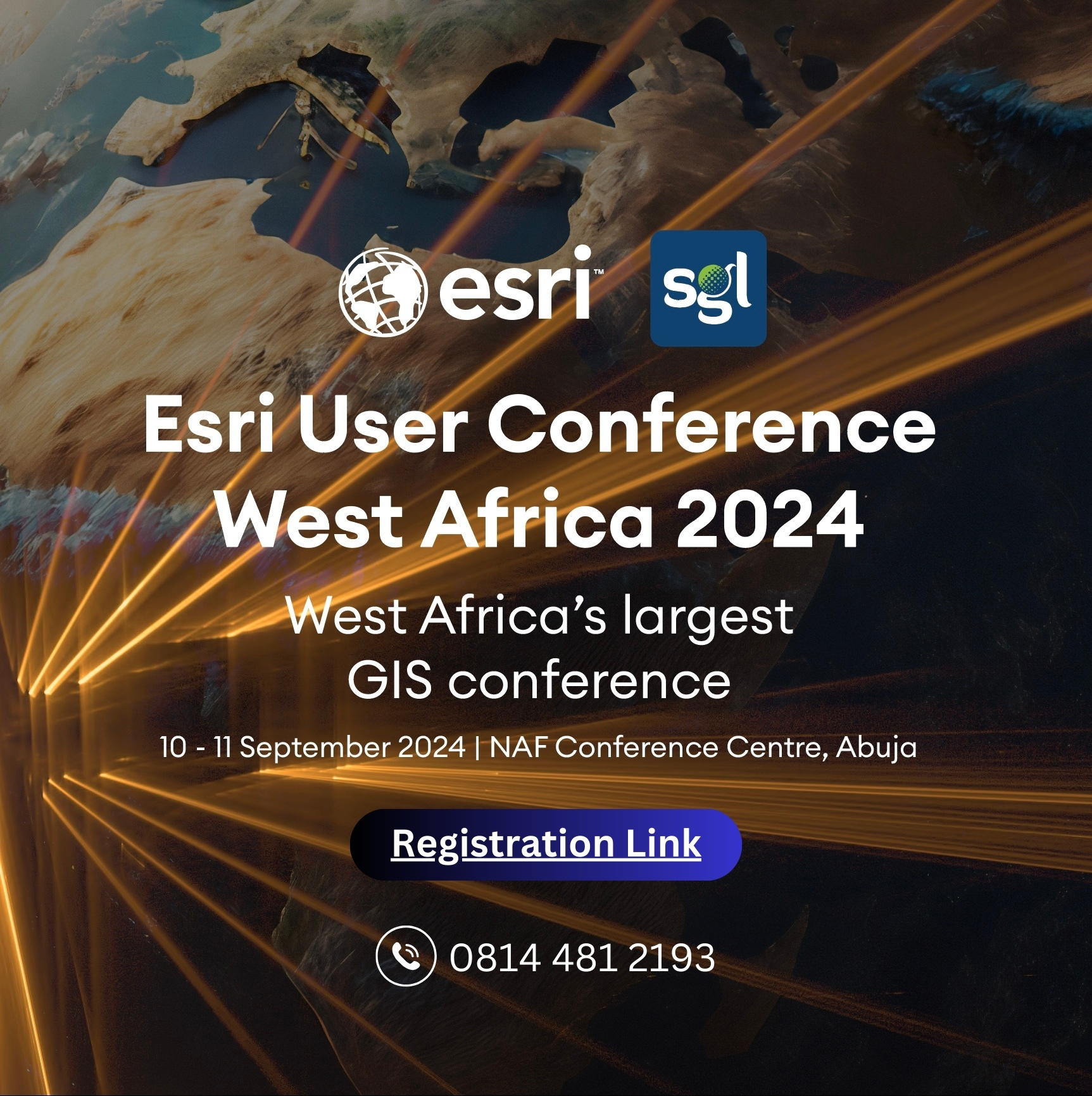
The NAF Conference Centre in Abuja, Nigeria, is preparing to transform into a hub of geospatial intelligence. The ESRI User Conference West Africa, hosted by leading geospatial applications firm Sambus Geospatial, convenes on September 10th – 11th, 2024. This premier event promises to be a catalyst for innovation and collaboration, uniting GIS professionals, academics, and industry leaders from across West Africa.
To register for the Esri User Conference West Africa 2024, please click the link: https://africabusinessconvention.com/event/esri-user-conference-west-africa-2024/
The conference highlights the growing importance of Geographic Information Systems (GIS) in West Africa. GIS technology allows for the visualization, analysis, and management of geographic data, playing a crucial role in various sectors. From infrastructure development and environmental management to disaster response and urban planning, GIS empowers informed decision-making.
Sambus Geospatial boasts a rich 33-year history as a pioneer in the field. The company established itself as a leader in introducing and implementing GIS solutions across West Africa. Today, the legacy of offering a comprehensive suite of services, including ESRI software installation and support, project development, and capacity building programs is even more heightened.
The ESRI User Conference itself reflects the expanding use of ESRI’s ArcGIS platform, the industry leader in GIS software. Attendees can explore cutting-edge mapping technologies through interactive displays, gain hands-on experience with the newest ArcGIS Pro functionalities in workshops, and learn from renowned speakers showcasing real-world applications of GIS across diverse sectors.
A key feature of the conference is its focus on collaboration. Dedicated networking sessions will allow attendees to connect with fellow professionals, forge valuable partnerships, and share best practices. This exchange of knowledge and expertise is crucial for fostering a vibrant GIS community in West Africa.
The conference arrives at a pivotal moment for geospatial technology in the region. Several milestones have shaped its evolution. The increased availability of high-resolution satellite imagery in the late 20th and early 21st centuries provided a wealth of data for GIS analysis. The proliferation of smartphones and tablets with GPS capabilities has democratized GIS data collection and analysis, making it more accessible. Finally, the emergence of open-source GIS software like QGIS has expanded access to this technology and fostered innovation.
The ESRI User Conference West Africa serves as a springboard for the future of geospatial technology in West Africa. By bringing together key players, showcasing advancements, and fostering collaboration, the event empowers participants to leverage the power of GIS to tackle the region’s most pressing challenges and build a brighter future. Sambus Geospatial, through its leadership in hosting this conference, demonstrates its ongoing commitment to empowering West Africa with the tools and knowledge needed to thrive in the geospatial revolution.
Adding to the excitement, the conference will also feature a dedicated exhibition space. Here, leading geospatial companies will showcase their latest products and services, offering attendees a glimpse into the future of the field. From cutting-edge software solutions to innovative data collection tools, these exhibits promise to awe attendees and spark new ideas for utilizing GIS technology across West Africa.