West Africa stands to achieve a new era of growth; through geospatial data collection using the geographic information system GIS. From robust energy grids and expansive telecom networks to efficient transport corridors, GIS satellite technology enables fast and accurate data collection and transmission across these sectors.
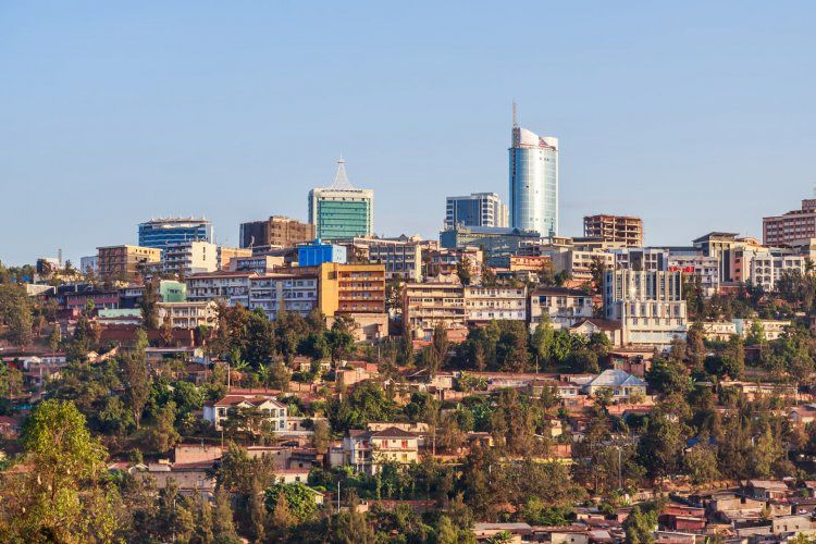
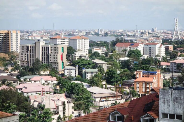
The upcoming Esri User Conference (UC) West Africa, scheduled to hold this September in Lagos, Nigeria, emerges as a pivotal moment for this very reason – achieving growth with GIS.
“West Africa is at a turning point in its digital transformation, and GIS is right at the centre of it. Whether we’re talking about building smarter cities, strengthening resilience against climate change, or making industries like agriculture and energy more efficient, geospatial intelligence is the glue that holds it all together. This conference shows industries how to embed GIS into their digital strategies and innovate faster.” Corporate Business Development and Marketing Support of GSI, Mrs. Angela Anyakora, said to thinkbusiness Africa.
More than just a gathering of GIS professionals, it’s slated to become the convening table where public and private sector leaders from across the region align their visions and strategies, all powered by the unifying language of location intelligence.
When data is openly shared and collaboratively analyzed through a common geospatial platform, the project transforms. Planners can identify the most efficient routes, predict challenges, and ensure seamless integration, benefiting millions with reliable power
Understanding the geographic distribution of demand, the most viable fiber optic routes, and the placement of cellular towers across borders requires a shared spatial understanding. The Esri UC West Africa provides the ideal forum for telecom operators, technical experts, government regulators, and infrastructure developers to discuss these challenges and forge data-sharing agreements that accelerate network deployment.
The genius of geospatial technology, particularly as championed by Esri, is its ability to transcend traditional barriers. It provides a common operational picture, a visual language that everyone—from policymakers to engineers—can understand and utilize. At the Esri UC West Africa, attendees will witness firsthand how this technology can be leveraged to:
- Standardize Data: Establishing common data models and standards for infrastructure, demographics, and environmental information across countries.
- Facilitate Cross-Border Planning: Enabling joint planning for shared resources and infrastructure projects, reducing inefficiencies and fostering regional cohesion.
- Enhance Decision-Making: Providing leaders with comprehensive, location-aware insights to make informed decisions about investment, policy, and development.
- Promote Private-Public Partnerships: Creating a neutral ground for private companies and government agencies to collaborate on projects that benefit the entire region.
The energy and anticipation leading up to the conference in Lagos are palpable. It’s more than just a technology event; it’s a testament to West Africa’s commitment to self-reliance, innovation, and, most importantly, collaboration. The insights gained, the partnerships forged, and the strategies developed at the Esri UC West Africa will not only showcase the power of geospatial data but will also lay the groundwork for a more connected, prosperous, and resilient West African future.
For technical experts, this is your playground. You’ll walk away with new workflows, tips on cutting-edge tools like AI-driven imagery analysis, 3D modeling, and real-time dashboards. More than tools, you’ll gain best practices from peers who understand the same challenges you face. Think of it as sharpening your craft while also expanding your professional network. Mrs. Angela Anyakora affirmed.