Across the cities of West Africa, a familiar sight unfolds: a new residential estate block is built, but the roads leading to it are constantly gridlocked. Market grows organically, yet it lacks proper sanitation, leading to health issues.
These aren’t just isolated problems; they are symptoms of a greater challenge—the mismatch between rapid urbanization and effective urban planning. But a new satellite tool is changing the narrative: Geographic Information Systems (GIS).
GIS is more than just digital mapping; it’s a foundation for building a smarter, more resilient city. It frames the entire urban landscape in a way that reveals its interconnectedness, allowing planners to move from ‘guesswork to precision’.
Urban Planning and Land Management
The first step in building a smart city is understanding its existing layout. Historically, this meant working with outdated paper maps,with no clear plans.
Meanwhile, GIS creates a living, interactive digital twin of the city. Planners can layer different datasets—from population density and zoning to land ownership and informal settlements.

This visual data instantly highlights where services are lacking, where infrastructure is under stress, and where future growth is most likely to occur. It allows a city like Accra to identify and formally map unplanned communities, ensuring they are included in development plans for things like waste collection and sanitation.
Mrs. Rosemary Okla, GIS specialist at Ghana Geological Survey Authority (GGSA), expressed that the authority “was able to attain optimal efficiency in using GIS tools in our projects” – while also extending gratitude to “Sambus Geospatial” the leading distributor of GIS technologies in Africa.
Smarter Transport and Logistics
Traffic congestion is a daily nightmare in many West African capitals, costing economies billions in lost productivity.
For a logistics company, the satellite software is essential for optimizing delivery routes, saving time and fuel. During a major event or emergency, the system can instantly suggest the fastest routes for first responders, bypassing gridlocked areas to save lives.

Mr, Emmanuel Amoah, Route to Market Manager of Voltic Ghana, said the technology “was able to visualize and monitor product flow which are distributed using the various channels critically mapped out using the locational intelligence system provided by Sambus Geospatial.”
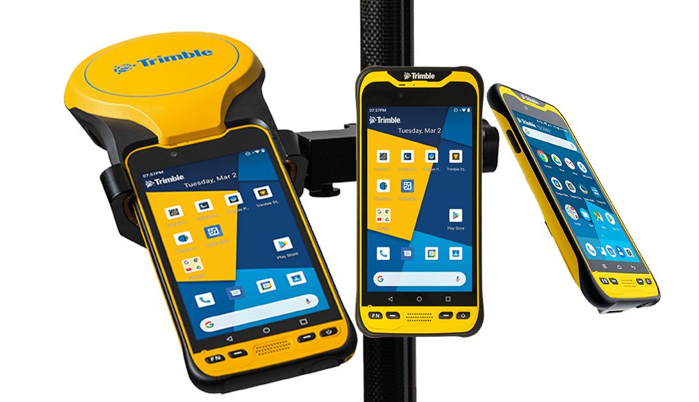
However, the upcoming GSI user conference scheduled to hold in Lagos, Nigeria next month will enlighten West African surveyors, real estate developers and business leaders on the effectiveness of this satellite technology.
Mrs. Angela Anyakora, corporate business development and marketing support of GSI,. Highlighted that “Whether we’re talking about building smarter cities, strengthening resilience against climate change, or making industries like agriculture and energy more efficient, geospatial intelligence is the glue that holds it all together. This conference shows industries how to embed GIS into their digital strategies and innovate faster.”
In essence, GIS is the brain of the smart city, turning unconnected data into a clear, actionable plan. It is no longer just a tool for mapping; it is a core component of urban planning, transport, energy, and every other system that will shape the future of West African cities.


